
Orienteering at the Arboretum
Grab Your Compass and Get Ready to Navigate!
Being able to use a compass is a valuable navigation tool and takes practice and study to be effective. Fortunately, the Yakima Area Arboretum offers a fun, convenient, and beautiful location for you to hone your orienteering or compass skills. And, you don’t have to worry about getting lost!
Instructions and Compass: In order to use the Arboretum’s orienteering course you will need to bring with you a downloaded copy of the course instructions, and an orienteering style or lensatic compass. Your compass much feature a dial marked from 0-360 degrees, have a needle encased in a bubble-free liquid, and allow you to shoot a directional azimuth or bearing.
How to Use A Compass: Before you can tackle the Arboretum’s orienteering course you will need to know a few basic compass skills beforehand. Fortunately, there are a number of online resources to assist you. Skills to learn ahead of time include how to adjust for declination (true north vs. magnetic north), your pace length, and how to shoot a directional azimuth or bearing. Some online sources you might find useful are:
Arboretum’s Orienteering Course: Currently the Arboretum has two orienteering courses. Both were developed by Eagle Scout candidate Andrew Brown in 2009.
Short Course: The short course consists of nine compass bearings and is approximately one half mile in length.
Long Course: The second and more difficult course has ten compass bearings and is approximately one mile in length.
The two courses utilize the Arboretum’s grid markers as reference points for each compass bearing. The Arboretum is divided up into 100 foot squares and each corner of the square is identified with a grid marker. The grid markers are either six inch diameter concrete markers with brass or aluminum plates or 3 1/2 inch white PVC markers. Each has four sets of letters and numbers. As the markers are at ground level, they may occasionally be difficult to locate due to grass, leaves and, yes snow.
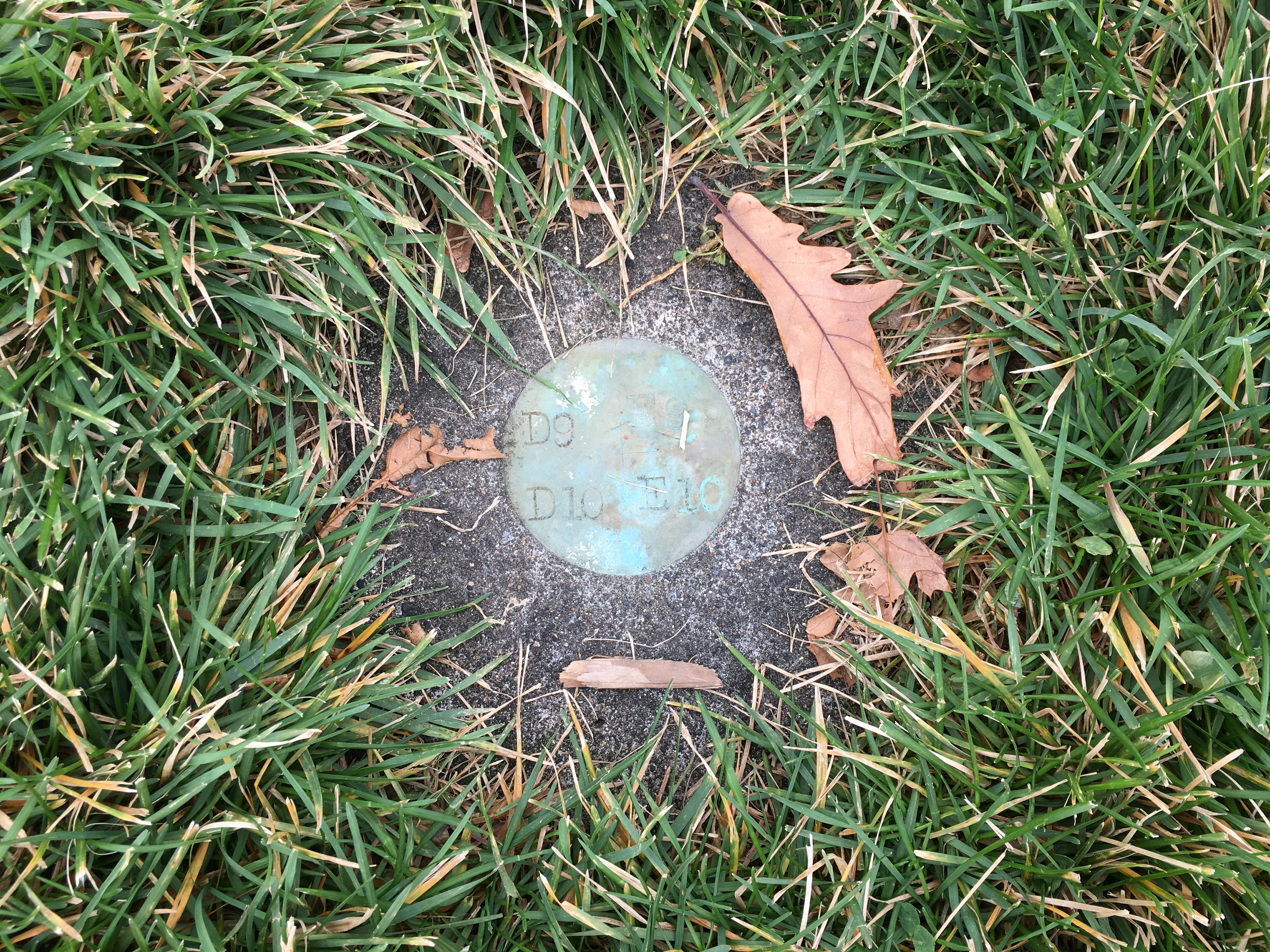
Brass Grid Marker Set in Concrete

PVC Grid Markers
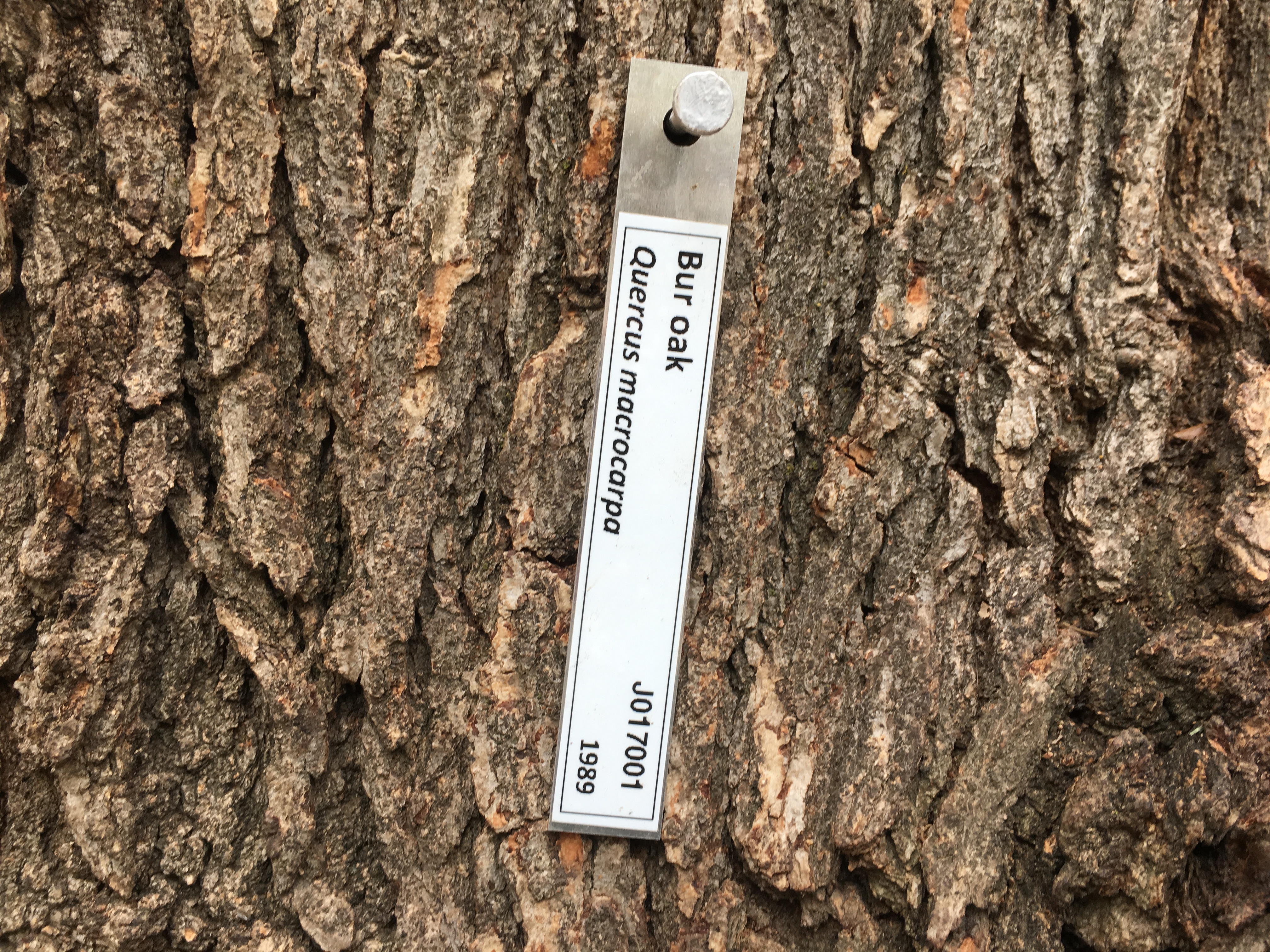
Tree Label

Brass Grid Marker No Concrete
Declination: Compass bearing for both courses are based on true north so that you must correct for the declination (the difference between true north and magnetic north). The declination correction for Yakima as of November 2018 is 15.15 degrees. If your compass cannot be set to correct for declination, you will need to subtract 15 degrees from each bearing given in the course. Here are two useful sources for determining declination.
NOAA Declination Computer:
(Best if using a United States zip code.)
http://www.ngdc.noaa.gov/geomag-web/#declination
Geological Survey of Canada Declination Computer:
(Once you determine latitude / longitude, this is a good declination calculator, particularly for locations
outside the United States. Also, includes information on using a compass.)
http://geomag.nrcan.gc.ca/apps/mdcal-eng.php
Know your Pace: Distances between bearings will be given in feet. To move from point to point you will need to know the length of your step or your pace (the distance between two heel strikes of the same foot; twice the distance of one step). These can be easily determined at the beginning of the course by stepping off the 100 foot distance between two markers. This is the number of steps or paces you will use to cover a distance of 100 feet. Divide this number into 100 feet and you will know the length of your step or pace.